Forestry Solutions for Reforestation Purposes
Forests, which cover one-third of the world’s land surface, aren’t just a collection of trees and plants. They are complex ecosystems performing vital functions. Alongside oceans, forests work as the lungs of the Earth, producing oxygen and absorbing carbon dioxide. Home to most of the land flora and fauna species, forests support biodiversity as well as the livelihoods of 1.6 billion forest-dependent people.
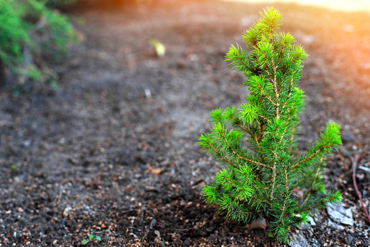
Unfortunately, forests are destroyed at an alarming rate: every year 10 to 12 million hectares of forest – an area three times the size of Switzerland – fall prey to deforestation caused by illegal logging, agricultural clearing, wildfires, and other man-made or natural factors. To make up for the lost forestlands, trees are planted in degraded or deforested areas; such efforts are known as reforestation.
How Reforestation Helps the Planet
Forest management and planning is a complex process involving careful analysis and profound expertise to make sure forests are harvested and replanted sustainably. Controlling and managing thousands of forest hectares can be a difficult, time and resource-consuming task. Modern geographic information systems (GIS) can’t do all the work foresters fulfill, however, they come in handy wherever data and location matter. Current forestry software simplifies access to valuable information about forestlands, allows for analysis and deriving insights from available data, including satellite and aerial imagery, as well as identifies trends and makes forecasts based on historical data. All in all, the latest geospatial data-driven solutions for forestry enable sustainable forest management practices and reforestation is one of the most crucial ones.
There are two major tree-planting strategies: reforestation and afforestation. While the first describes the process of regrowing trees in areas that had large tree populations before; the latter means establishing tree populations in a land that never used to be a forest.
Growing more trees and sustaining adequate global forest stocks offer great ecological and economic benefits while also promoting sustainable development. The main, positive effects of reforestation and afforestation include:
Carbon Sequestration
Tree trunks, leaves and roots remove carbon dioxide from the air and store it. So forests serve as huge carbon sinks, reducing harmful emissions that drive detrimental climate change. According to UNEP, with deforestation emissions eliminated and massive reforestation efforts in action, a 50% cutdown on global net emissions can be achieved over the next decade.
Biodiversity Conservation
Uncontrolled deforestation leads to the loss of natural habitats for animal and plant species. By practicing sustainable forestry and reestablishing forests in most affected areas, the endangered species populations can be returned to normal levels and saved from becoming extinct.
Soil Erosion Prevention
The roots of trees hold the soil together and prevent the loss of the topsoil layer, sheltering it from wind and rain, as well as maintaining soil fertility. Deforestation leads to massive soil erosion that could sweep land into rivers, increasing the risks of flooding and harmful sedimentation effects. This problem is particularly relevant to the tropical Amazon region, which has lost around 20% of rainforests in the past 50 years and has soils especially vulnerable to heavy rainfall.
Employment and Economic Benefits
Unemployment and lack of income are thought of as two of the major drivers of deforestation. FAO estimates reforesting 8 to 10 million hectares of forests can generate around 10 million forestry jobs and bring double the benefit: replenish the lost natural assets and create income-earning opportunities where they’re absent. Reforestation projects also boost ecotourism, contributing to local economies and improve food security by providing nutritious food to local communities.
On top of that, reforested areas act as natural air conditioners able to cool the Earth’s atmosphere by up to 8° Celsius and filter potable water through their roots.
Looking into Global Drivers of Forest Loss
Forestry specialists distinguish between deforestation and forest degradation when it comes to impacts on forest cover. Deforestation occurs when forests are permanently cleared with no room for regrowth: to build a city, to use the land for growing crops or cattle ranching, etc. Forest degradation, in its turn, is a temporary decrease in forest density; thinned forests are expected to regrow when left alone.
That said, the drivers of forest cover loss also vary based on the gravity of their impact.
Agriculture, mining and energy infrastructure cause major harm to forests contributing to commodity-driven deforestation. For example, 70% of tropical rainforests are destroyed to produce agricultural goods such as palm oil, beef, soy, timber, pulp and paper. Urbanization also results in deforestation to make room for new cities, roads and infrastructure.
Although forestry production (logging trees for wood or paper) and wildfires also cause forest disturbances and losses, the effect is short-term and forest stocks can restore naturally.
Geospatial Technologies for Replanting Forests
To know when and how best to harvest trees while maintaining forest health, foresters would need a forestry degree and years of practicing silviculture (also known as the ‘cradle of forestry’) for making the best management decisions. It can get easier though if they obtain access to remote sensing data and a user-friendly digital app or platform that can instantly process a satellite image of a large tract of forest and highlight recent changes in forest cover.
EOSDA Forest Monitoring, developed by a global provider of AI-powered satellite imagery analytics, EOS Data Analytics, is one example of such software that demonstrates how GIS and remote sensing are adding precision, cost-effectiveness and sustainability to forestry. The tool can be used by landowners or forest managers to monitor forest health remotely, from the entire region to a single forest stand, and observe changes either caused by manmade deforestation or natural causes, such as wildfires.
Research institutions are able to keep track of and measure deforestation extent. Logging companies can evaluate reforestation efforts by comparing forest imagery before and after interventions. Weather forecasts will come in handy in planning forestry operations, while historical data on precipitations and temperatures can be used to find correlations between weather trends and tree growth or predict fire hazards. Besides, there is a convenient dashboard for showing all data in one place and a customizable notification feature alerting to canopy stress and forest fire risks.
There are numerous other fields where GIS and related technologies aid in all things forest-related. Research is conducted to enhance the accuracy of satellite data analysis in measuring tree-planting efforts, e.g. running a classification algorithm on the data from the longest-running Landsat mission to map afforestation areas. Moreover, tools are being developed to support sustainability and make the forestry supply chain more transparent, so food processing and wood sourcing companies (or even customers) could trace the origin of raw materials they get and make sure they don’t contribute to deforestation and the risks it entails.
In Summary
Forestry software offers the latest data and tools to stop deforestation and empower reforestation efforts, which represent one of the most cost-effective solutions for halting climate change. Implementing modern technologies can help reverse the major, negative aspects of forest loss: increase in harmful emissions, reduced carbon-capture capacity and loss of vital resources for indigenous communities living off forests.
Monitoring large forest areas from space allows the tracking and measuring of both deforestation and reforestation progress, thus saving time and money. Satellites and drones, combined with remote sensing analysis and machine learning, enhance the speed and efficiency of tree replanting efforts providing a comprehensive picture of degraded forest to replant, including terrain, climate and more.
Author Bio: Tatiana Vasiltsova is a lifelong eco-activist. Her expertise covers satellite monitoring of natural and man-made landscapes and detection of changes in surface characteristics. Tatyana is a Ph.D. student in information technology and has an impressive list of technical publications.


Post a comment